| ... | ... | @@ -5,7 +5,8 @@ This series of screencasts will guide you to generate a mesh of the Great Barrie |
|
|
|
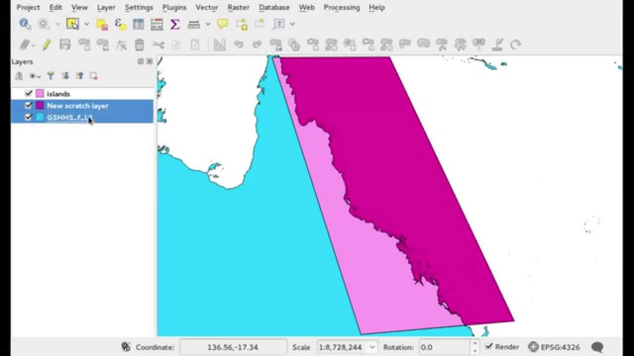
The domain boundaries are described by QGIS vector layers.
|
|
|
|
The first step is to obtain the coastlines. They are extracted from the [GSHHG](http://www.soest.hawaii.edu/pwessel/gshhg/) database. The shape files used in this tutorial can be downloaded from this [direct link](http://www.soest.hawaii.edu/pwessel/gshhg/gshhg-shp-2.3.4.zip).
|
|
|
|
|
|
|
|
[](http://youtube.com/embed/qu67lC54B_8)
|
|
|
|
[]
|
|
|
|
(http://youtube.com/embed/qu67lC54B_8)
|
|
|
|
(Click on the picture to start the youtube video.)
|
|
|
|
|
|
|
|
### 2. Shelf break ###
|
| ... | ... | |